
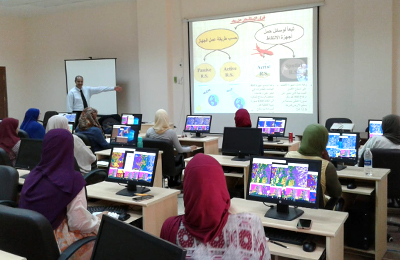
Under the patronage of Aswan university president Prof. Ahmed Ghallab the Geographic Information Systems (GIS) and Remote Sensing (RS) Center of Aswan University is organizing the 3rd workshop on the bases of geographic information systems. The course will last for 3 days. In the same context, the center’s manager Dr. Al Sayed Ewies said that GIS is one of the most significant techniques that has applications in various areas so the center holds the 3rd course for beginners to know the fundamentals of GIS and remote sensing in general and (ArcGIS) and (Envi) program package specifically in addition to shed light on some complementary programs as (Global Mapper and Google Earth Pro). He added that a number of university students, academic staff and alumni are taking part in the event.
![]()